Road traffic signs assessment conducted in school zones stretching Road from Harar to Jigjiga Where several Schools are found
Save the Nation Association conducted road traffic signs stretching from Harar to Jigjiga around 120 km length. Based on the assessment and actual field observation most of the schools are found around the main road, market areas and other institutions.
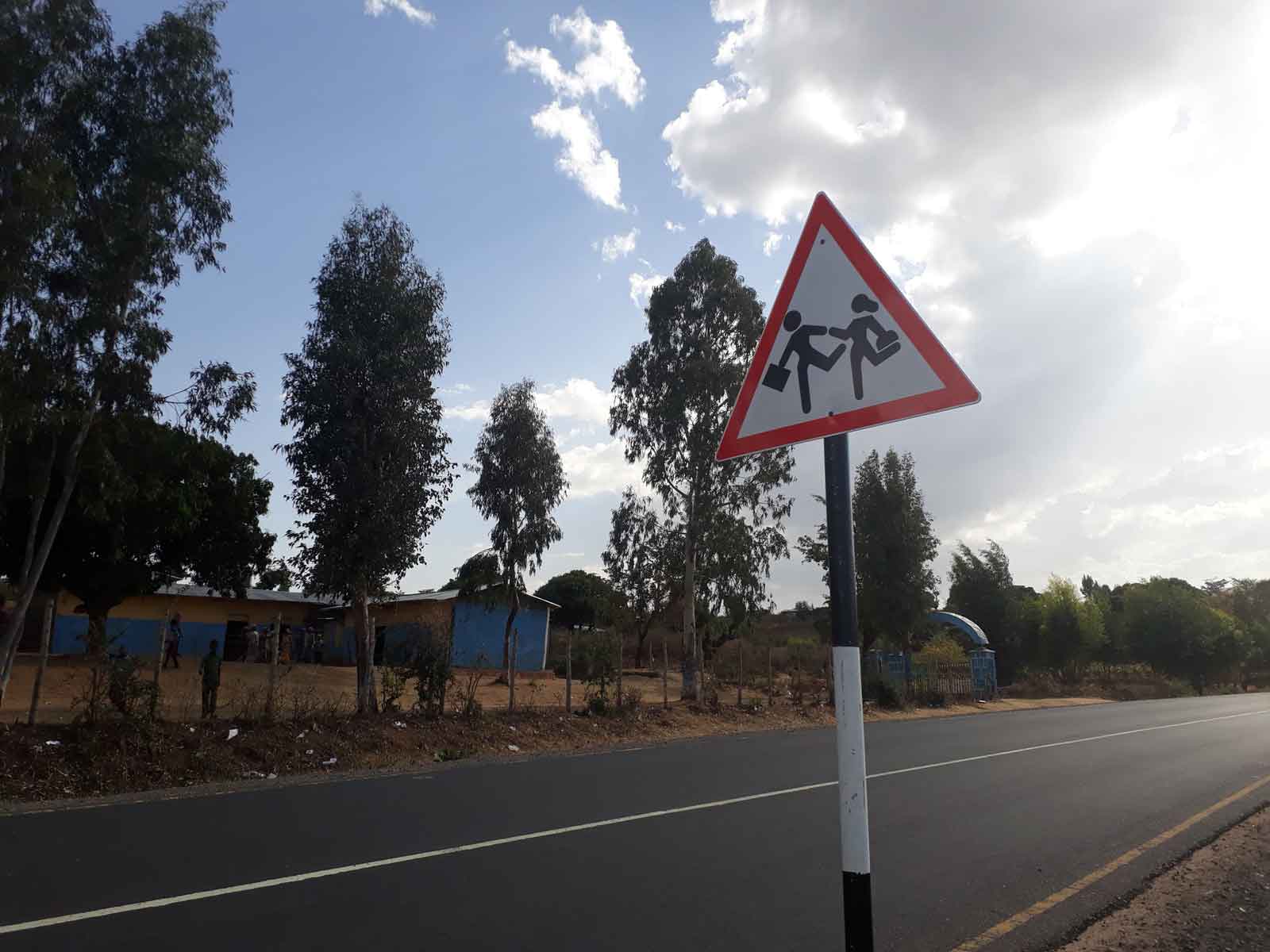
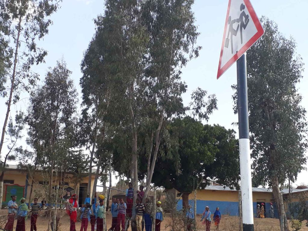
The schools under the study was the way stretching from Harar to Jigjiga and the number of schools under the study were 30 and almost all of the schools 100 % of them installed traffic signs in the wrong place that is they installed the traffic signs nearer to the gate of the schools while road traffic signs shall be posted approximately between 50-80 meter away from the schools for vehicle precaution.
SNA have been conducting surveys of road user behavior and existing infrastructure, Our main findings were:
- The absence of crosswalks in front of some schools and the flouting of rules by pedestrians as well as motorized vehicles where crosswalks (often in disrepair) do exist. The lack of zebra crossings leads students to take the shortest, potentially dangerous route across the road.
- The absence of stop lines before existing zebra crossings and vehicles stopped on the crossing, making it invisible and therefore putting pedestrians at risk.
- Although school zone signs existed, many were covered by trees and hard to see. Additionally, despite the schools, the speed limit was set at 50 kilometers per hour for cars and 40 kilometers for trucks.
SNA took these findings to the school, asking them to play their part by implementing the following measures:
- Parking spaces for school buses to avoid traffic congestion during drop off and pick up times.
- Appointment of a road safety warden.
- Road safety talks during Parent-Teacher meetings.
- Small-scale interventions on road safety by school authorities as a part of the curriculum.